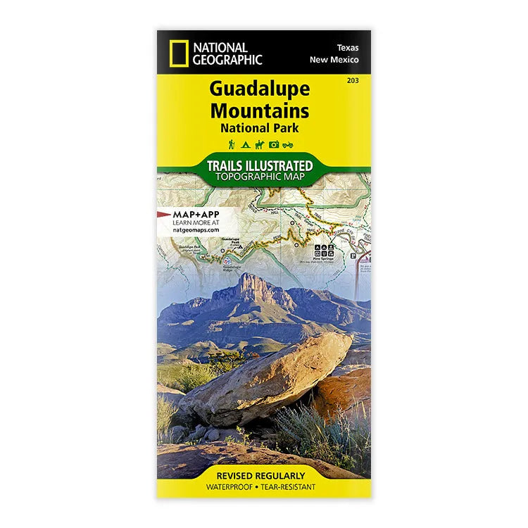


National Geographic Guadalupe Mountains National Park Trail Map
- Free shipping on orders over $59
- Low stock - 4 items left
- Inventory on the way
Created in cooperation with the National Park Service and others, National Geographic’s Trails Illustrated map of Guadalupe Mountains National Park is a complete travel guide to this pristine wilderness area. The map includes expertly researched information about the trees, shrubs, birds, amphibians, and other flora and fauna that live in the park’s three ecosystems. The park’s geologic history, which dates back nearly 300 million years, is explained as well.
Outdoor enthusiasts will be able to explore the area following precisely mapped trails, which include mileage markers and are color-coded according to their designated usage. Campgrounds, primitive campsites, picnic areas, and points of interest along the trails are marked. To aid in your navigation of the area, the map also displays contour lines, elevations, labeled peaks, four-wheel drive and high clearance roads, water features, and various waypoints. A campground-to-campground mileage chart will help you plan your journey. The map includes popular points of interest, including Brokeoff Mountains, Guadalupe Mountains, Guadalupe Mountains Wilderness, Guadalupe Peak, and Lincoln National Forest. There is also an inset regional map, which displays entrances to the park and nearby Carlsbad Caverns National Park.
Every Trails Illustrated map is printed on "Backcountry Tough" waterproof, tear-resistant paper. A full UTM grid is printed on the map to aid with GPS navigation.
- ISBN 139781566953160
- Map Scale: 1:35,000
- Sheet Size: 37 3/4" x 25 1/2"
- Folded Size: 4 1/4" x 9 1/4"
- Printed in 2023 by National Geographic Maps
- Printed in the United States
Shipping charges will be calculated at checkout. Please view our Shipping & Terms page for more information.