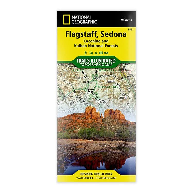


National Geographic Flagstaff - Sedona Map
- Free shipping on orders over $59
- In stock, ready to ship
- Inventory on the way
Explore Northern Arizona's pine forests, picturesque mountains, steep canyons, and red-rock buttes with National Geographic's Trails Illustrated map of Flagstaff & Sedona. Created in partnership with local land management agencies, this expertly researched map delivers unmatched detail and helpful information for experienced outdoor enthusiasts and casual visitors alike.
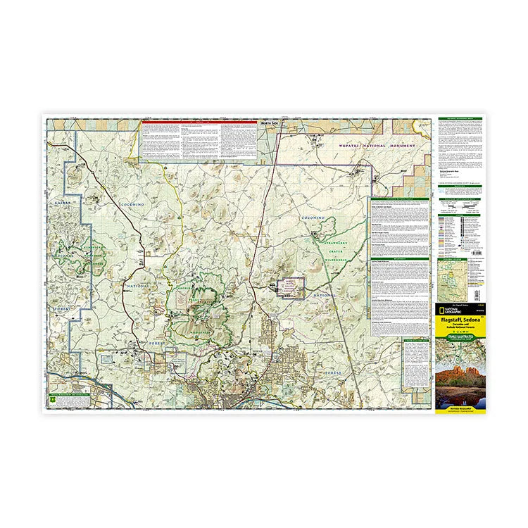
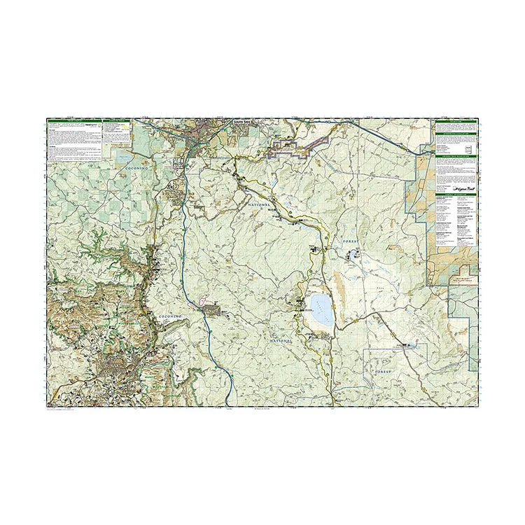
In addition to detailed and easy-to-read trails, this map includes contour lines and elevations. It differentiates between paved, OHV, or high-clearance roads. It also includes points of interest including campgrounds, visitor centers and facilities, swimming areas, boat launch sites, ski-areas and sno-parks. Informative summaries of each wilderness area, the Cinder Hills OHV Area, and Coconino National Forest are also included.
Key areas of interest featured on this map include Coconino and Kaibab National Forests; Historic Route 66 and other scenic byways; Sunset Crater Volcano, Wupatki, and Walnut Canyon National Monuments; and Kachina Peaks, Kendrick Mountain, Munds Mountains, Red-Rock Secret, and Strawberry Crater Wilderness Areas.
Every Trails Illustrated map is printed on "Backcountry Tough" waterproof, tear-resistant paper. A full UTM grid is printed on the map to aid with GPS navigation.
- ISBN-13: 9781566955157
- Folded size: 4 1/4" x 9 1/4"
- Unfolded size: 37 3/4" x 25 1/2"
- Map Scale: 1:70,000
- Printed on durable synthetic paper, making it waterproof, tear-resistant, and capable of withstanding the rigors of any kind of travel
- Published by National Geographic Maps in 2023
- Printed in the United States
Shipping charges will be calculated at checkout. Please view our Shipping & Terms page for more information.