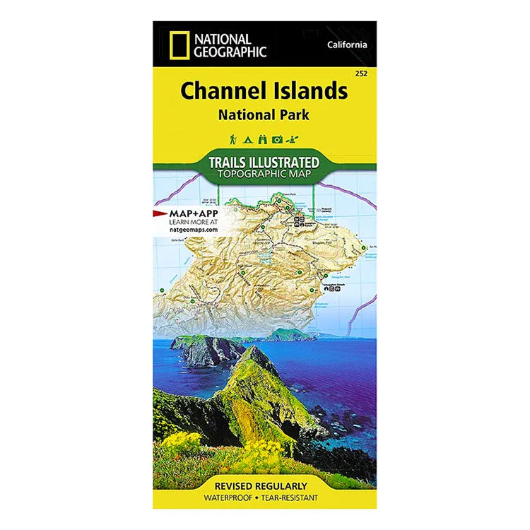


National Geographic Channel Islands National Park Map
- Free shipping on orders over $59
- Low stock - 4 items left
- Inventory on the way
Located just off the California shore, the Channel Islands are home to many unique species of flora and fauna found nowhere else on earth. National Geographic's Trails Illustrated map of Channel Islands National Park was created in partnership with the National Park Service and is a thorough, all-in-one guide that adventurers can rely on.
It covers with unparalleled detail the five islands that encompass the park—Anacapa, Santa Barbara, Santa Cruz, San Juan, and Santa Rosa—including The Nature Conservancy area of Santa Cruz Island and State Marine Reserve Areas. It includes background information about the park and each island, along with regulations, guidelines, and safety warnings, and a coded trail guide, which includes start and destination points, distances, mileage markers, and difficulty. The map also depicts contour lines, elevations, labeled peaks, selected waypoints, terrain information, and points of interest such as ranger stations, campgrounds, restroom, picnic areas, and historic buildings. A full UTM grid is printed on the map to aid with GPS navigation.
Other features found on this map include: Anacapa Passage, Encino Reservoir, Franklin Canyon Reservoir, Laguna Point, Point Dume, Santa Cruz Channel, San Fernando Valley, San Miguel Island and Passage, Sepulveda Dam, and the Stone Canyon Reservoir.
You can also rest assured that this map is ready for any outdoor adventure you may take on. Every Trails Illustrated map is printed on “Backcountry Tough” waterproof, tear-resistant paper, so you can rest assured that it is able to take on any outdoor adventure, on land or sea. Pick one up today and start planning your next California getaway.
- ISBN-13: 9781566954105
- Map Scale: 1:50,000
- Sheet Size: 37 3/4" x 25 1/2"
- Folded Size: 4 1/4" x 9 1/4"
- Printed by National Geographic Maps in 2023
- Made in the USA
Shipping charges will be calculated at checkout. Please view our Shipping & Terms page for more information.