


National Geographic Four Corners: Trail of the Ancients Nat Geo Map
- Free shipping on orders over $59
- In stock, ready to ship
- Inventory on the way
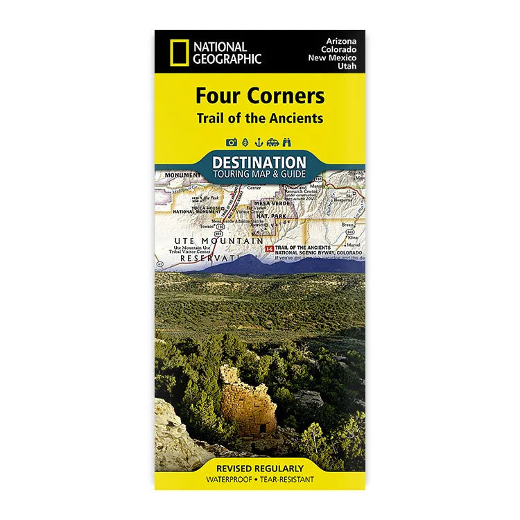
National Geographic's Destination Touring Guide and Map for the four corners area strikes the perfect balance between map and guidebook and is ideal for a wide range of travelers. The Four Corners Region—which includes Arizona, Colorado, New Mexico, and Utah—is the only place in the United States where four states intersect at one point.
This map guide is centered around geotourism, or tourism that sustains and enhances the geographic character of a place, including its environment, culture, aesthetics, heritage, and well-being of its residents.
The front side reveals a map of the region spanning from Dixie National Forest in southeastern Utah to Great Sand Dunes National Park and Preserve and San Isabel National Forest in southwestern Colorado; from Santa Fe National Forest and Cibola National Forest in northwestern New Mexico to Coconino National Forest in northeastern Arizona. At the center of the map is the Four Corners Monument, where visitors can stand on the only spot in the United States where four states meet. The map also includes a detailed road network and areas of interest such as Native American reservations and national parks, forests, monuments and recreation areas. Archaeological sites, historic sites, museums, scenic areas, state parks and other points of interest are also featured.
The reverse side of the map provides invaluable content for travelers with individual maps and descriptions highlighting archaeological sites, festivals, museums, and events; outdoor recreation opportunities; water and geologic features; and arts, music, and cultural points of interest. The map also features important travel tips and beautiful photographs showcasing some of many ways travelers can experience this enchanted landscape. It also includes service and contact information. Printed on durable synthetic paper, this National Geographic map is also waterproof and tear-resistant, making it able to withstand the rigors of any kind of travel. It’s the perfect companion for your Four Corners’ region trip.
Key Features:
- ISBN-13: 9781597754507
- Map Scale: 1:758,930
- Sheet Size: 37.75" x 25.5"
- Folded Size: 4.25" x 9.25"
- Published by National Geographic Maps in 2018
- Made in the USA
Shipping charges will be calculated at checkout. Please view our Shipping & Terms page for more information.