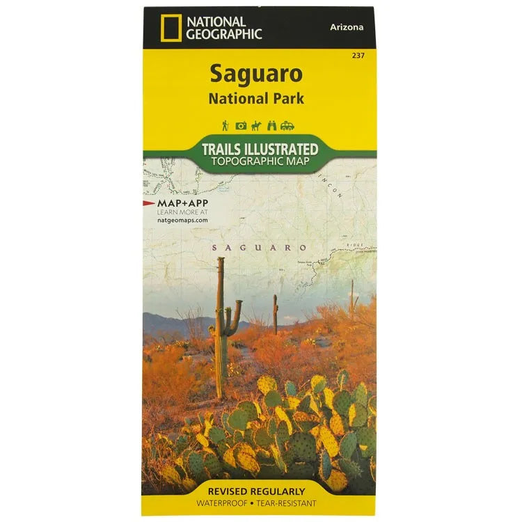


National Geographic Saguaro National Park Map
- Free shipping on orders over $59
- In stock, ready to ship
- Inventory on the way
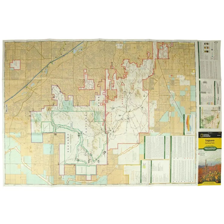
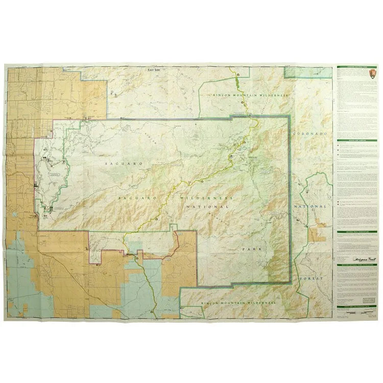
Enjoy this waterproof, tear-resistant, topographic map. National Geographic's Trails Illustrated map of Saguaro National Park and surrounding areas to the east and west of Tucson, is the perfect map for hiking, biking, exploring, climbing, riding, camping, and sightseeing in the beautiful Sonoran Desert. Created in partnership with local land management agencies, this expertly researched map highlights key areas of interest including Tucson Mountain Park, Sweetwater Preserve, Robles Pass, Saguaro Wilderness, Tanque Verde Ridge, Hope Camp, and Yetman and Petroglyphs Trails.
This map features detailed topography with shaded relief, elevations, and clearly defined, color-coded boundaries for parks, public lands, and wilderness areas. With miles of mapped trails including a portion of the Arizona Trail, this map can guide you off the beaten path and back again in some of the most iconic scenery in the desert Southwest. The clearly marked trails include mileage between intersections, and handy hiking and trailhead summaries will help you choose the path that's right for you. Recreation features are clearly marked, including campgrounds, interpretive trails, rifle and archery ranges, scenic drives, picnic areas, and points of interest.
Every Trails Illustrated map is printed on "Backcountry Tough" waterproof, tear-resistant paper. A full UTM grid is printed on the map to aid with GPS navigation.
Other features found on this map include: Coronado National Forest, Rincon Mountain Wilderness, Rincon Mountains, Saguaro National Park, Spud Rock, and Tucson Mountains.
- ISBN-13: 9781566952408
- Format: Folded map
- Folded size: 4 1/4" x 9 1/4"
- Unfolded size: 37 3/4" x 25 1/2"
- Map Scale: 1:35,000
- Printed on durable synthetic paper, making it waterproof, tear-resistant, and capable of withstanding the rigors of any kind of travel
- Published by National Geographic Maps in 2023
- Printed in the United States
Shipping charges will be calculated at checkout. Please view our Shipping & Terms page for more information.