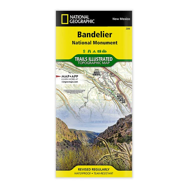


National Geographic Bandelier National Monument Map
- Free shipping on orders over $59
- Low stock - 6 items left
- Inventory on the way
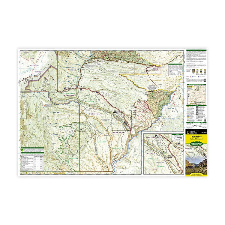
National Geographic's Trails Illustrated map of Bandelier National Monument is your all-in-one resource for this rugged and beautiful area of New Mexico. Created by a trusted industry expert in cooperation with the National Park Service, US Forest Service, and others, this map includes an abundance of recreational, archaeological, geological, and historical information along with park regulations, safety tips, and essential contact information. It depicts the entire national monument, included an inset map with details about the visitor center, along with Bandelier and Dome Wilderness areas, White Rock Canyon, and parts of Santa Fe National Forest and Jemez Mountain Trail Byway.
The trail guide lists selected trails leaving the visitor center, with trail descriptions, distances, and estimated hiking time. The road network includes numbered Forest Service roads. contour lines, elevations, labeled peaks and summits, water features, trail distances, selected waypoints, and color-coded boundaries between different land management agencies. Other recreation features and amenities include camping and picnic areas, restrooms, RV dump stations, parking areas, and archaeological sites.
And you can rest assured that every Trails Illustrated map is ready for adventure, as they are all printed on "Backcountry Tough" waterproof, tear-resistant paper. A full UTM grid is printed on the map to aid with GPS navigation. Pick one up today and start planning your trip to Bandelier National Monument.
- ISBN-13: 9781566954938
- Folded size: 4 1/4" x 9 1/4"
- Unfolded size: 37 3/4" x 25 1/2"
- Map Scale: 1:35,000
- Published by National Geographic Maps in 2020
- Printed in the United States
Shipping charges will be calculated at checkout. Please view our Shipping & Terms page for more information.