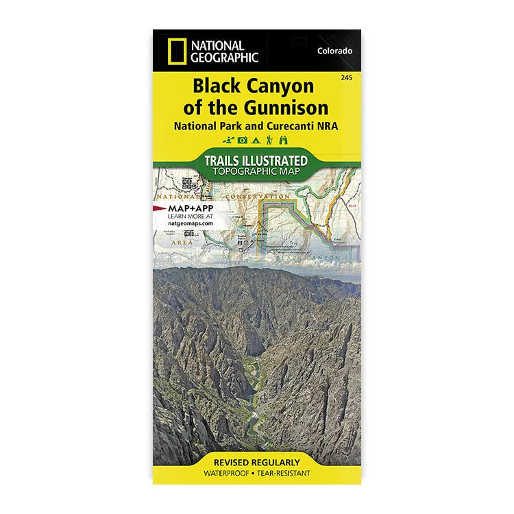


National Geographic Black Canyon Of The Gunnison Map
- Free shipping on orders over $59
- Low stock - 4 items left
- Inventory on the way
The Black Canyon is 48 miles of awe-inspiring canyon carved by the Gunnison River and includes some of the steepest cliffs in North America. National Geographic's Trails Illustrated map of Black Canyon of the Gunnison National Park and Curecanti National Recreation Area delivers unmatched detail and valuable information to help you explore this breathtaking wilderness, from one of the most trusted names in the outdoor industry.
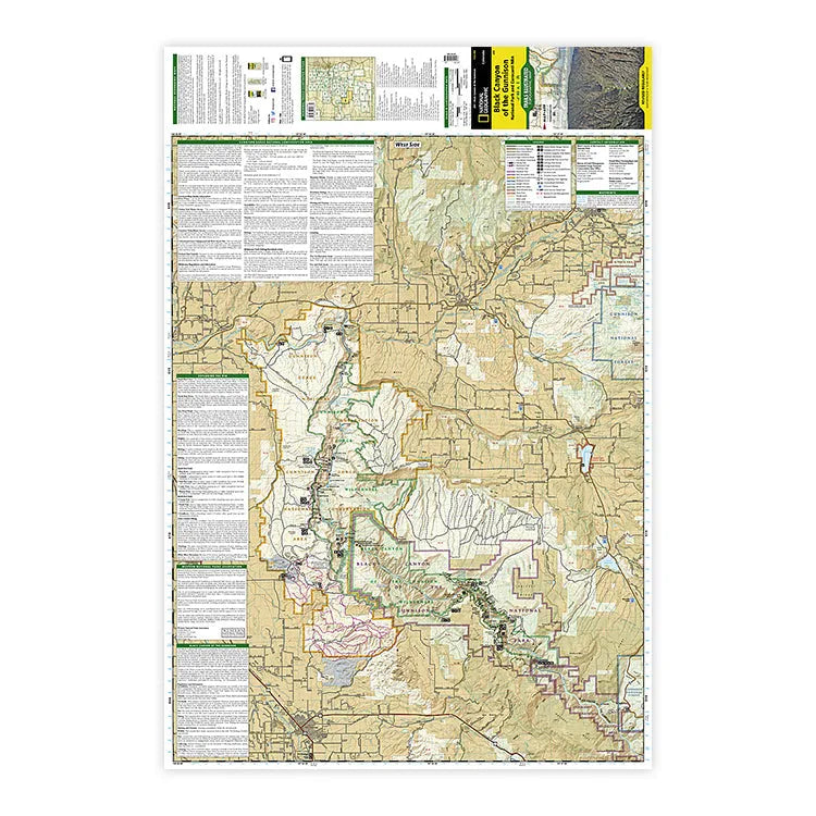
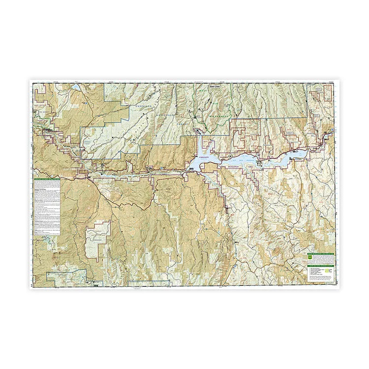
Designed with a range of visitors in mind and created in partnership with local land management agencies, this map features detailed and easy-to-read color-coded trails, including hiking trail summaries for the north and south rims of the canyon. It also has an accurate road network included The West Elk Loop and Silver Thread scenic byways, and high-clearance and four-wheel-drive trails. Campgrounds, fishing areas, boat ramps, river access, and primitive campsites for hikers and boaters are also indicated, as well as rapids and ratings along the Gunnison River. The map base includes contour lines and elevations for summits, passes, and lakes. A full UTM grid is printed on the map to aid with GPS navigation.
Other features on this map include: Blue Mesa Reservoir, Gunnison Gorge National Conservation Area, Gunnison National Forest, Uncompahgre National Forest, and West Elk Wilderness; and the towns of Montrose, Paonia, and Hotchkiss.
Plus, you can rest assured that this map is ready for any outdoor adventure, as every Trails Illustrated map is printed on “Backcountry Tough” waterproof, tear-resistant paper. Pick up a copy and start planning your trip to these stunning landscapes in Western Colorado today.
- ISBN-13: 9781566953689
- Map Scale: 1:758,930
- Sheet Size: 37.75" x 25.5"
- Folded Size: 4.25" x 9.25"
- Published by National Geographic Maps in 2023
- Made in the USA
Shipping charges will be calculated at checkout. Please view our Shipping & Terms page for more information.